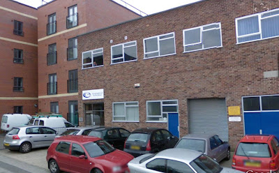
Images copyright Google Google Street View has gone national A huge update of Google's photography means that over 90% of the UK is now covered by the high resolution, 360 degree imagery along most roads in the UK One of the first things that people would do perhaps would be to look at their own house, and the houses where they used to live.... Just done that myself, and you can see the house where I lived between 1977 and 1988 (ish) above, tho' it didn't look like that at the time... There was a useful post on Simon Haughton's blog which suggested some geographical ideas for how the newly expanded Street View could be used in the classroom. Here are some (more): 1. Previewing a journey that is going to be made / risk assessments for fieldwork 2. Carrying out VIRTUAL FIELDWORK in an unfamiliar area 3. Investigate change over time in a local area 4. Clone Town / Land use surveys 5. Remodelling the models: transects from town centre outwards to test their validity 6. C...